20% off of purchases $100 promo code: TWENTY

1943 Print Transportation Route Political Division Costa Rica Map Railroad XGW1

1943 Print Transportation Route Political Division Costa Rica Map Railroad XGW1

Regular price $43.95 USD Sale price $17.99 USD
Unit price  per 

This is an original 1943 halftone print map of the transportation routes and political divisions of the country of Costa Rica in Central America.

CONDITION

This 68+ year old Item is rated Very Fine ++. Light aging throughout. No creases. Light pencil marking. No surface rub. No tears. No water damage. Please note that there is print on the verso.

  • Product Type: Original Halftone Print; Black / White
  • Grade: Very Fine ++
  • Dimensions: Approximately 5 x 6 inches; 13 x 15 cm
  • Authentication: Serial-Numbered Certificate of Authenticity w/ Full Provenance
  • Protection: Packaged in a custom archival sleeve with an acid-free black board (great for display, gift-giving, and preservation)

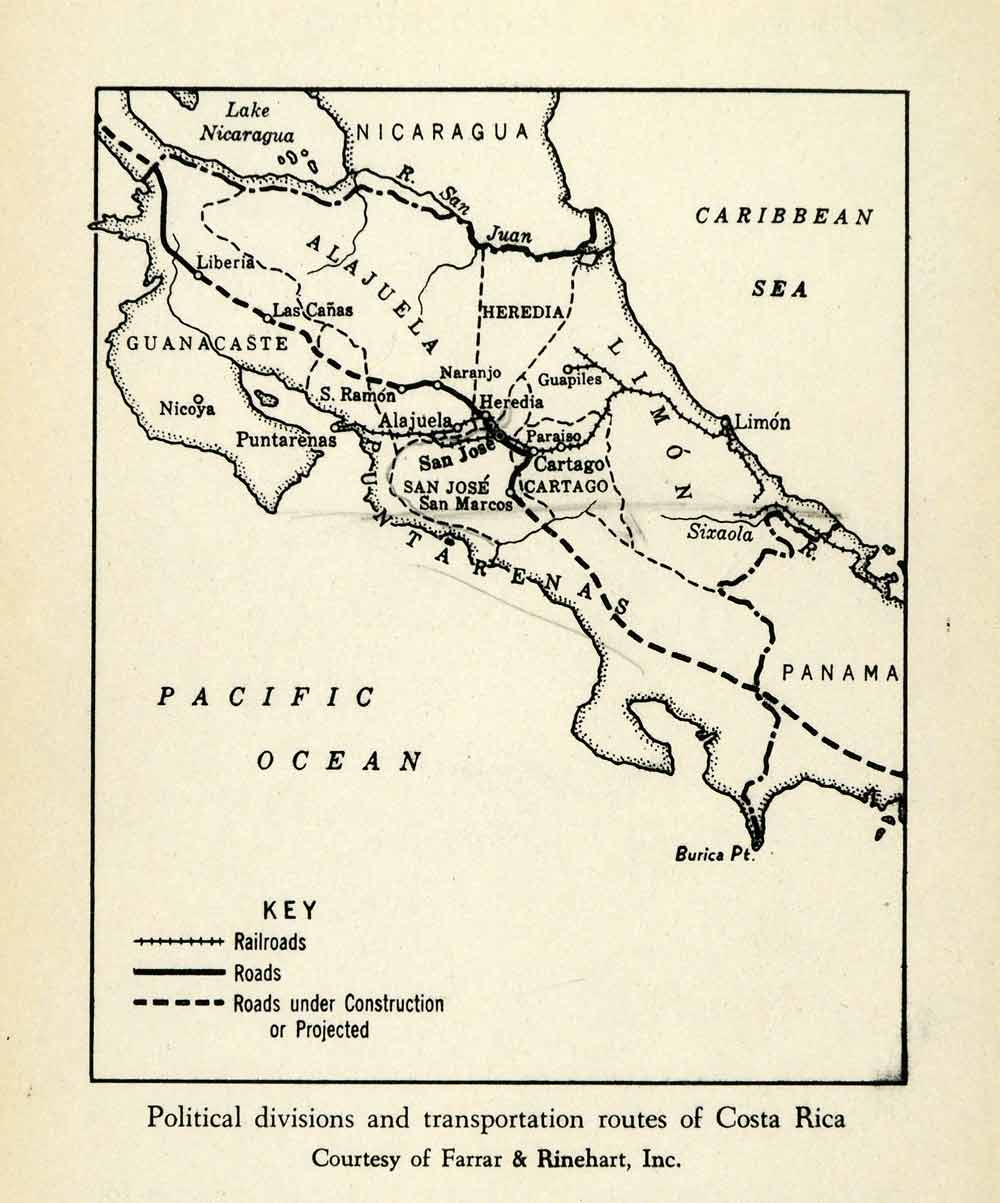
Keywords specific to this image: Panama, Caribbean. Pacific, Nicaragua, San Juan, Alajuela, Guanacaste, Puntarenas, Burica, Cartago, Limon, Sixaola, Heredia, Liberia, Las Canas, Ramon, Nicoya

XGW1C43