20% off of purchases $100 promo code: TWENTY

1910 Print Map Europe Turkey Empire Ottoman Kingdom Balkan Mediterranean XEM8

1910 Print Map Europe Turkey Empire Ottoman Kingdom Balkan Mediterranean XEM8

Regular price $45.95 USD Sale price $39.06 USD
Unit price  per 

This is an original 1910 black and white relief line-block map of the Turkish Ottoman Empire as it expanded throughout Europe between 1526-1689 CE.

CONDITION

This 101+ year old Item is rated Very Fine +++. Light aging throughout. No creases. No natural defects. No surface rub. No tears. No water damage.

  • Product Type: Relief Line-block Map; Black / White
  • Grade: Very Fine +++
  • Dimensions: Approximately 7 x 5 inches; 18 x 13 cm
  • Authentication: Serial-Numbered Certificate of Authenticity w/ Full Provenance
  • Protection: Packaged in a custom archival sleeve with an acid-free black board (great for display, gift-giving, and preservation)

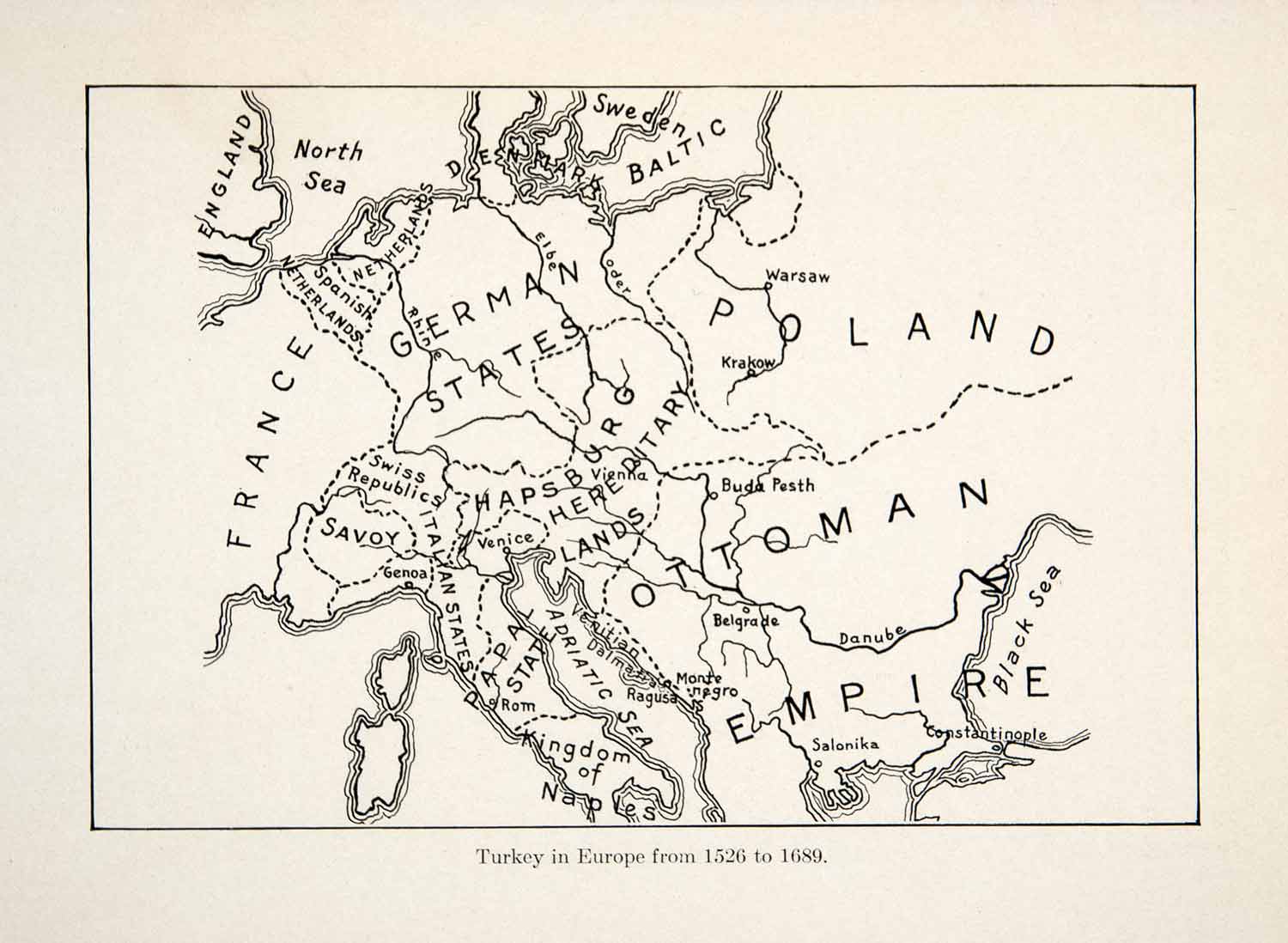
Keywords specific to this image: England, North Sea, Spanish Netherlands, Holland, Denmark, Sweden, Baltic Sea, France, Germany, States, Rhine River, Elbe River, Oder River, Warsaw, Poland, Krakow, Swiss Republic, Savoy, Genoa, Italy, Venice, Rome, Naples, Adriatic Sea, Ragusa, Dalmatia, Hapsburg, Budapest, Belgrade, Danube River, Salonika, Constantinople, Black Sea

XEM8C10